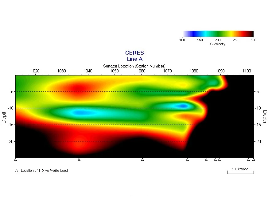

Depth-to-rock investigation on collapsing sand dunes
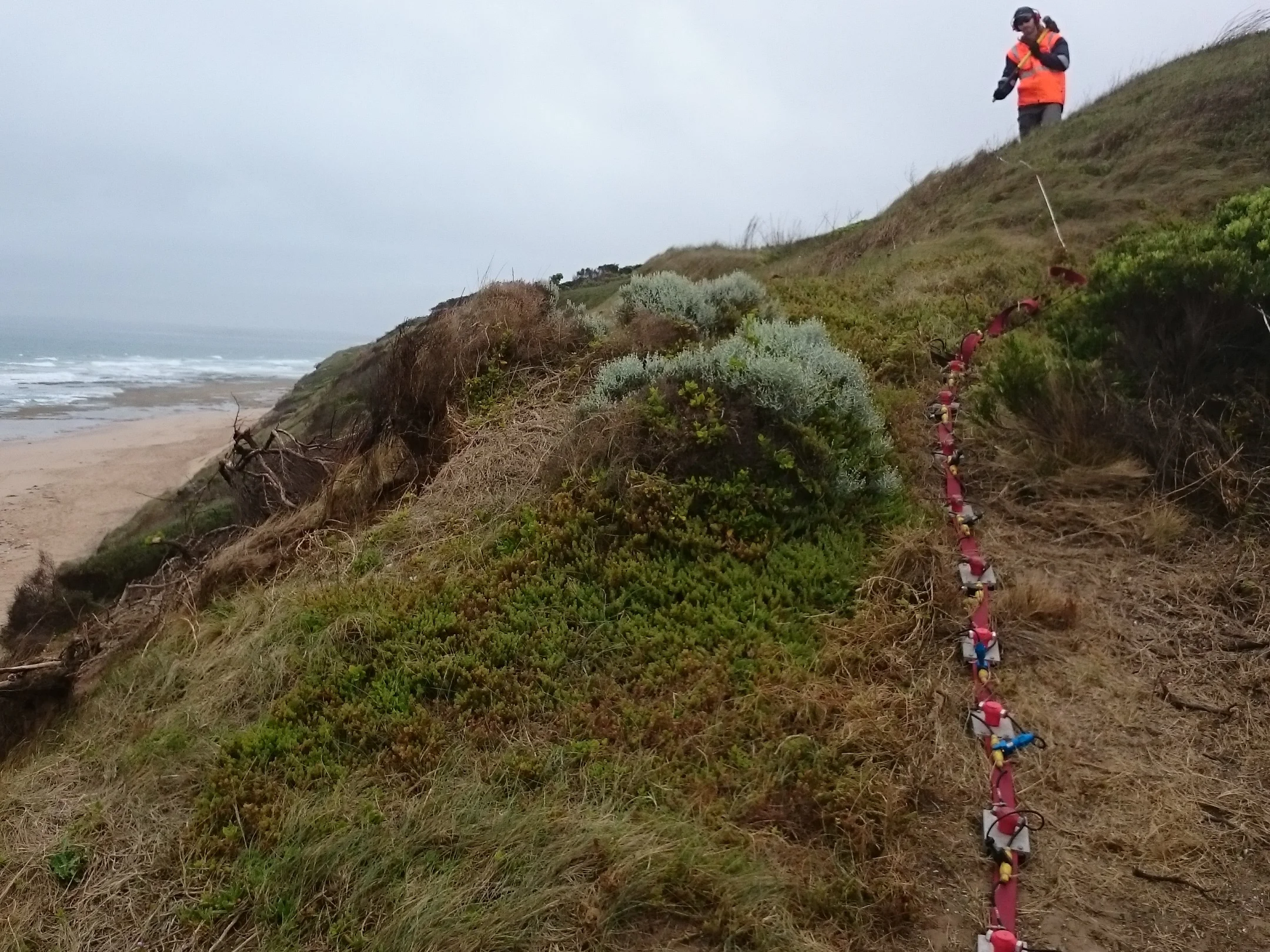
An investigation into the depth to rock on a site with active landslides within unstable sand dunes was required on the SW coast of Vic.
MASW was performed in conjunction with portable CPTs.
The MASW results agreed with the profile shown in the CPTs, with loose sand over dense sand and weathered calcrete.
The MASW survey was able to be extended into areas that the portable CPT could not access.
Pre-Ground and Post-Ground Improvement Survey

MASW used in conjunction with CPTs to verify ground improvement at Port Melbourne.
Over 2 km of MASW was performed across the 3.5 ha site.
The pre and post ground improvement surveys clearly show a significant increase in VS across the site, over the top 2m to 3m of granular fill.
Below this depth, the compressible marine clay showed no improvement, as expected.
MASW for identification of buried paleochannels on a basalt plain
MASW used for design of a long sewer alignment where tunnelling was proposed through basalt in the northern suburbs of Melbourne.
Unidentified buried paleochannels were considered a risk.
Over 7 km of MASW was performed.
Shear wave velocity (VS) and shear modulus (Gmax) profiles were generated from the survey and used to identify the rock profile and paleochannels.
Infilled quarry profiling
Development of an environment park reception centre required the profile of an infilled quarry and verification of ground improvement.
MASW successfully mapped the basalt rock surface including a stepped shelf in the quarry wall. It also highlighted the increase in VS where ground improvement had occurred.
The quarry was filled with waste which made drilling extremely difficult and MASW a great noninvasive alternative.